Submitted by Taps Coogan on the 5th of April 2020 to The Sounding Line.
Enjoy The Sounding Line? Click here to subscribe for free.
Enjoy The Sounding Line? Click here to subscribe.
The following maps, from the Vivid Maps, show various features of the United States from roads and rivers to population density. Click on the images to open an interactive version of the maps or a video version, depending on which was available (they may be a bit slow loading). Enjoy:
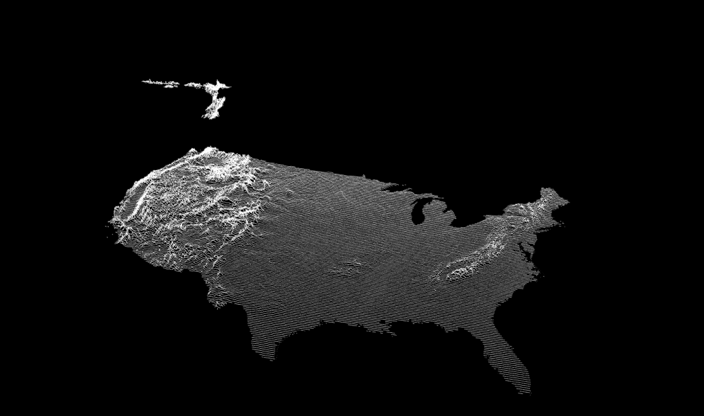
Elevation of the United States
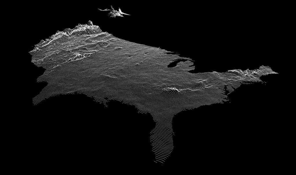
Annual Precipitation in the United States
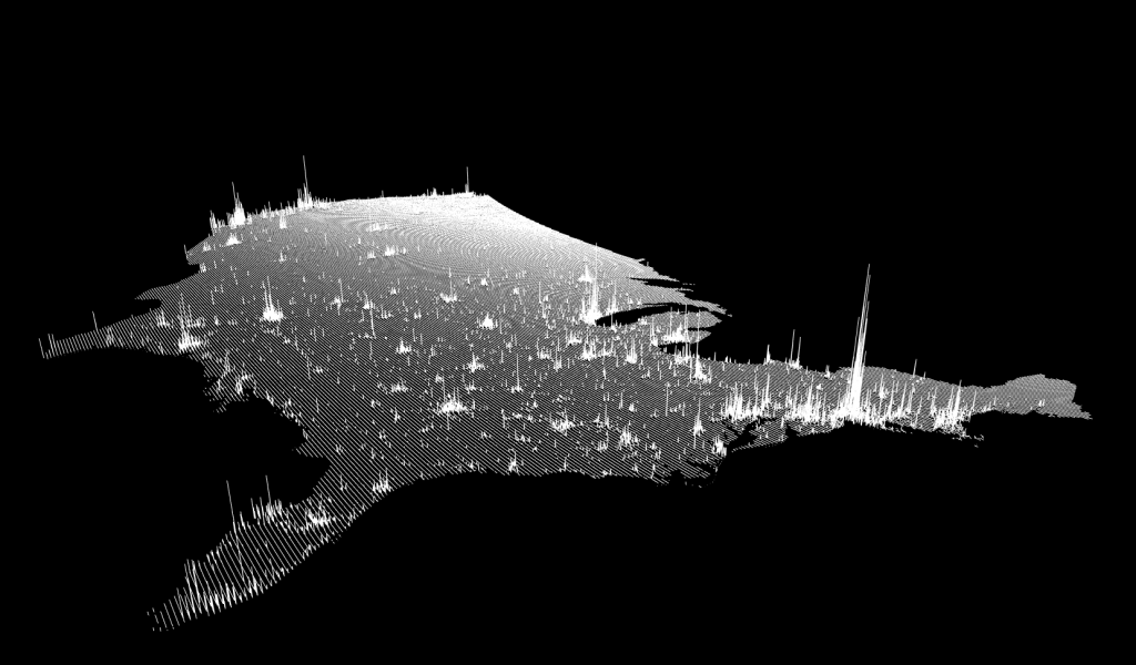
Population Density in the U.S.
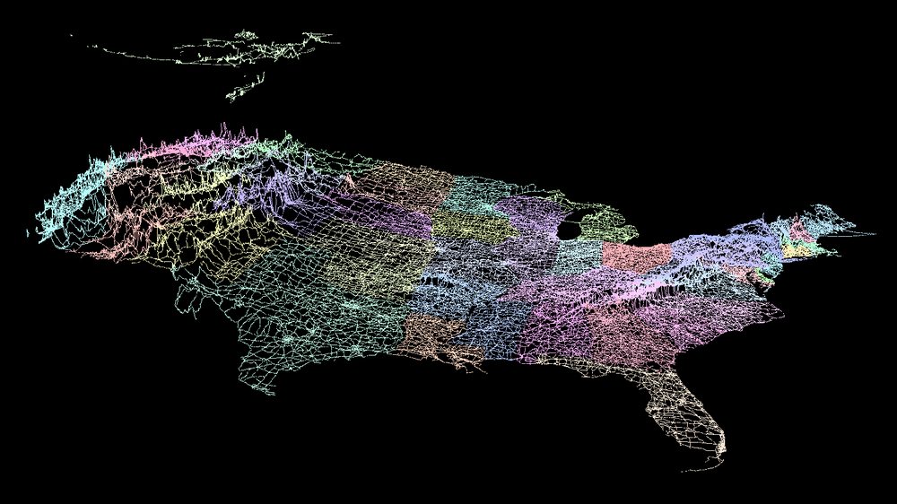
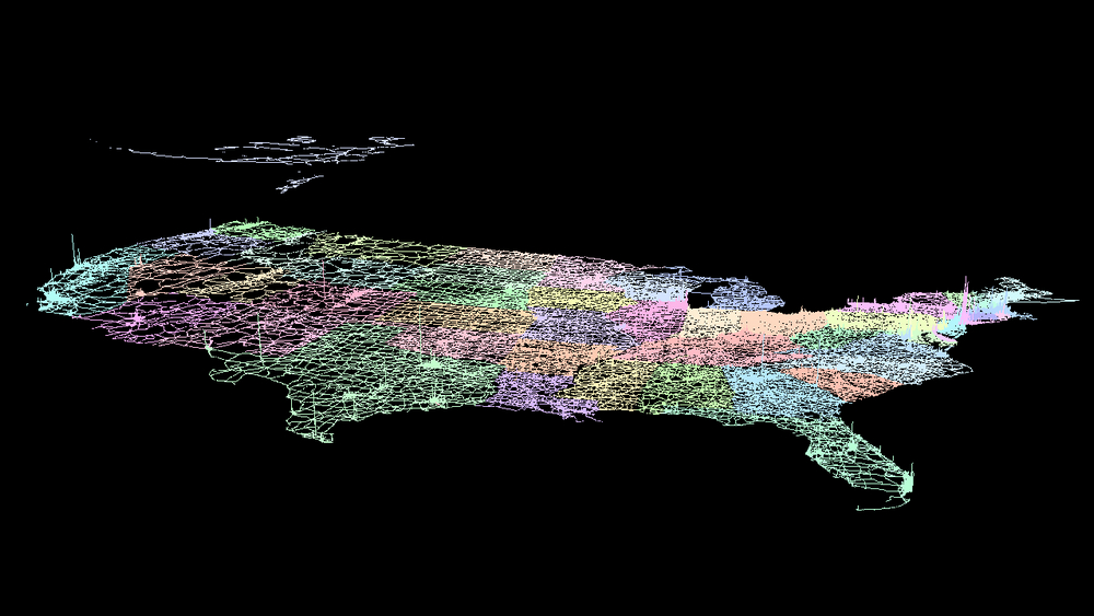
Roads and Elevation
Roads and Population Density
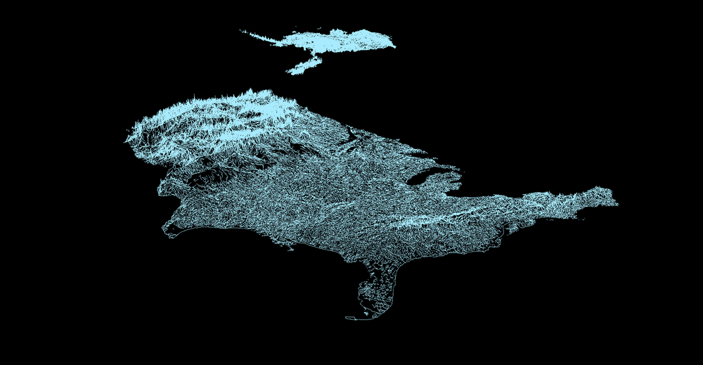
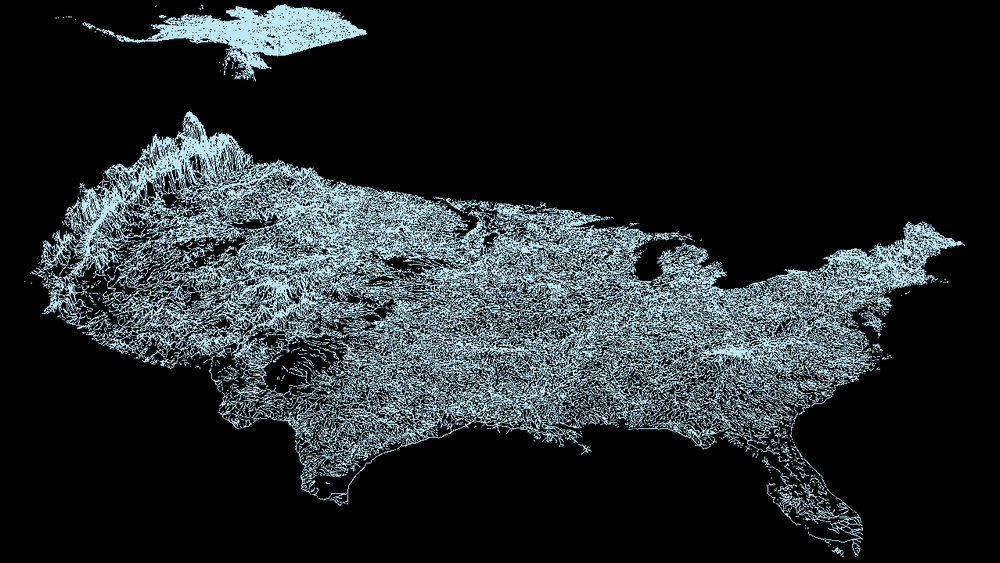
Rivers and Elevation
Rivers and Annual Precipitation
Would you like to be notified when we publish a new article on The Sounding Line? Click here to subscribe for free.
Would you like to be notified when we publish a new article on The Sounding Line? Click here to subscribe for free.